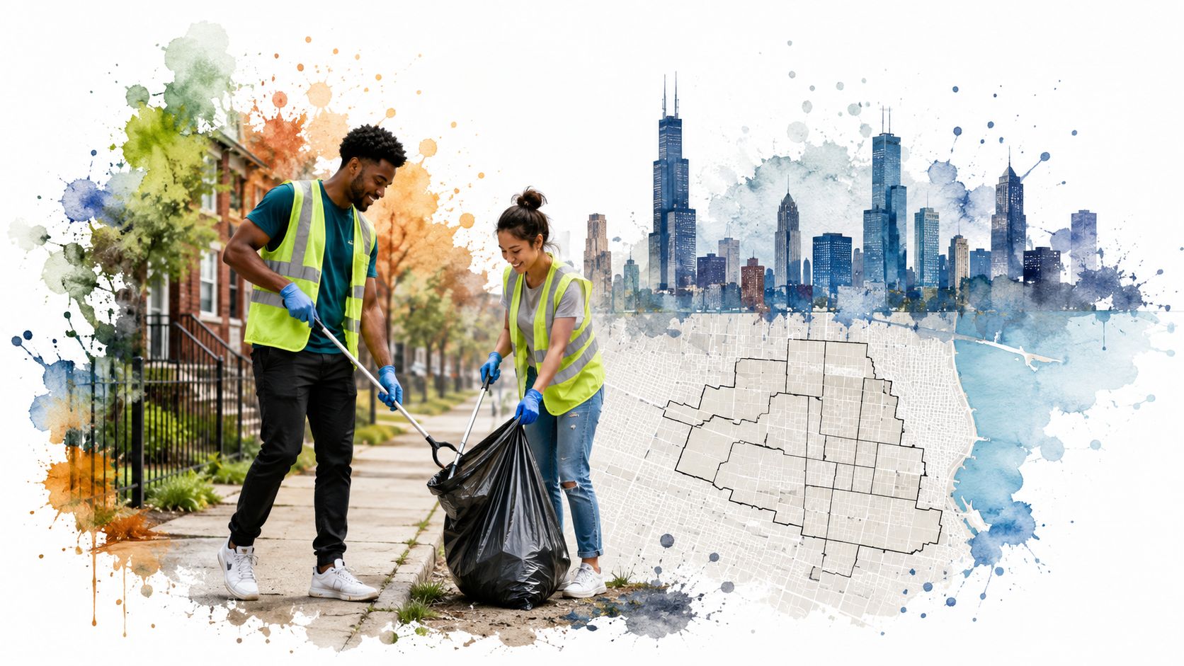
I'm usually on a Chicago block before the coffee shops open, glove box full of trash bags, grabbers rattling in the back seat, and one eye on the street I'm about to walk. Some mornings I'm in a place my friends would never pick for brunch, never mind a lease, and I can tell you this, the curb line, the empty lot, the open corner store, and the way people move on foot tell a better story than a single citywide number ever will.
If you're trying to judge Chicago neighborhood safety from your couch, I get the urge to search one clean answer. I've done it too. Then I've shown up on a block in work gloves and learned fast that Chicago doesn't hand out one safety score, it hands out blocks, corners, and routines that feel different from one another.
Why One Chicago Number Is the Wrong Place to Start
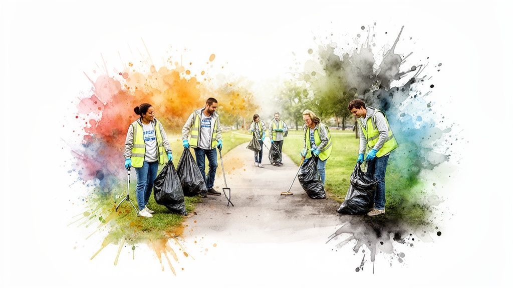
It was 7:30 on a Saturday, and my crew had just rolled up to a block many people I know would simply skip. We were carrying trash bags, grabbers, and the kind of stubborn mood you need when you've decided to spend your morning cleaning up someone else's mess. That block told me more than a citywide crime number ever could, because the garbage, the foot traffic, the broken glass, and the people who lived there all sat in the same frame.
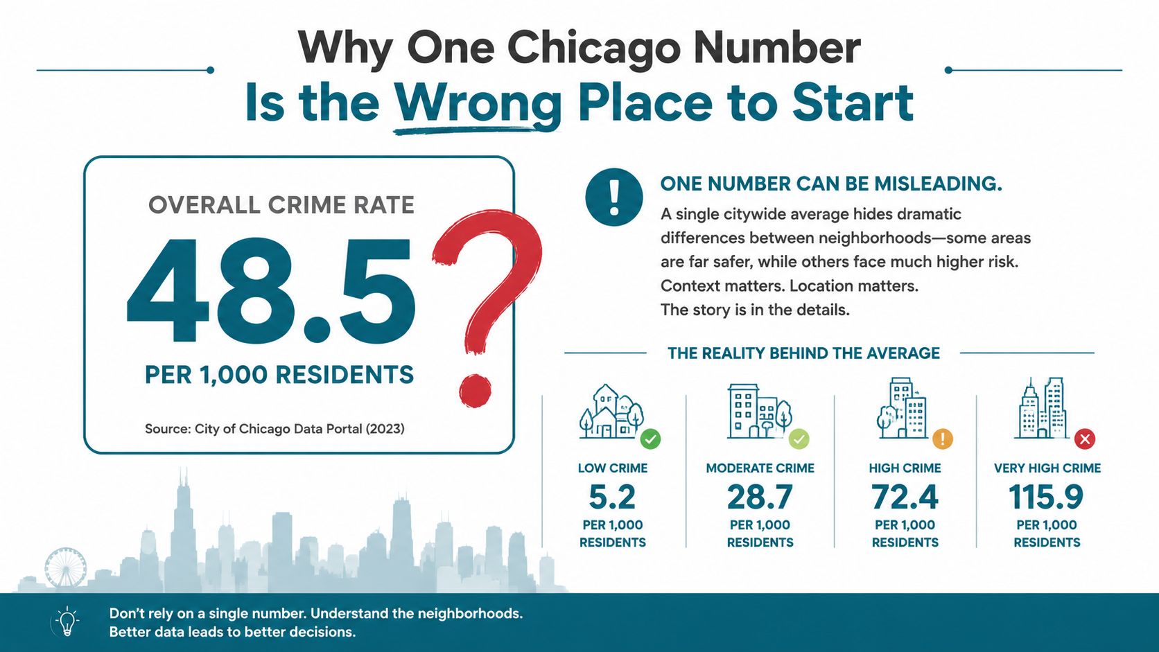
The citywide average hides the street level truth
Chicago's own violence dashboard shows why a single number can mislead you. From 2018 through 2020, 15 community areas, only 24% of Chicago's population, accounted for 63% of the city's homicides and non-fatal shootings (Chicago violence dashboard). Between January 1, 2016 and December 31, 2020, the city recorded 3,276 homicides and 13,546 non-fatal shooting victims (Chicago violence dashboard).
That's the part you miss when they ask, “Is Chicago safe?” Safe where? On what block? At what hour? The city's own dashboard logic treats violence as a spatial concentration problem, not a citywide-average problem, and that's the right way to think about it (Chicago All Safe Data).
A neighborhood can feel calm on one street and rough two blocks over. That's normal here, and it's why block-by-block reading matters.
I've seen that pattern up close on cleanup days. One stretch has kids biking past parked cars and a bakery opening its gate. Another stretch nearby has empty storefronts, loose trash, and nobody lingering outside unless they live there. If you only read the city as one number, you flatten both streets into something false.
Why that matters when you move, visit, or volunteer
Averages are useful for headlines, not for your actual life. If you're choosing an apartment, planning a Saturday walk, or organizing a cleanup crew, you need to know what happens on the block you'll touch, not what happens across the whole city. Chicago's own safety tools are built around that idea, because the risk is concentrated in specific community areas, often on the South and West Sides, while many other neighborhoods see far less serious violence (Chicago violence dashboard).
I trust that reality more than I trust a single clean score. A person can move one mile and land in a totally different rhythm, different lighting, different business density, different sense of ease. That's why I never start with “Chicago is safe” or “Chicago is dangerous.” I start with the block.
Reading the City's Crime Maps Without Misreading Them
I've stood at curbs with a trash grabber in one hand and my phone in the other, checking a block before we start a cleanup. One street looks calm because the porches are full, the lighting is decent, and people are outside. Another street a few turns away has broken glass near the alley, a couple of vacant lots, and a different kind of quiet. That is the kind of difference a good map can help me see, if I read it carefully.
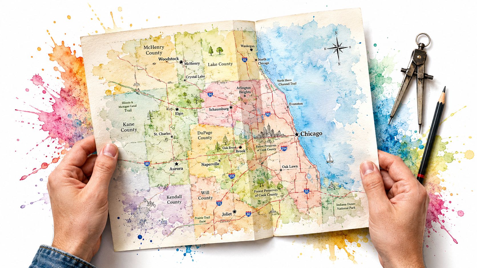
I keep three tabs open when I want a real read on a neighborhood. First, the city's Violence Reduction Dashboard. Second, the Public Safety DataHub. Third, a neighborhood-level crime map that lets me look at the street, not the postcard. Each tool answers a different question, and if you use the wrong one, you end up arguing with the wrong data.
The tools tell different stories
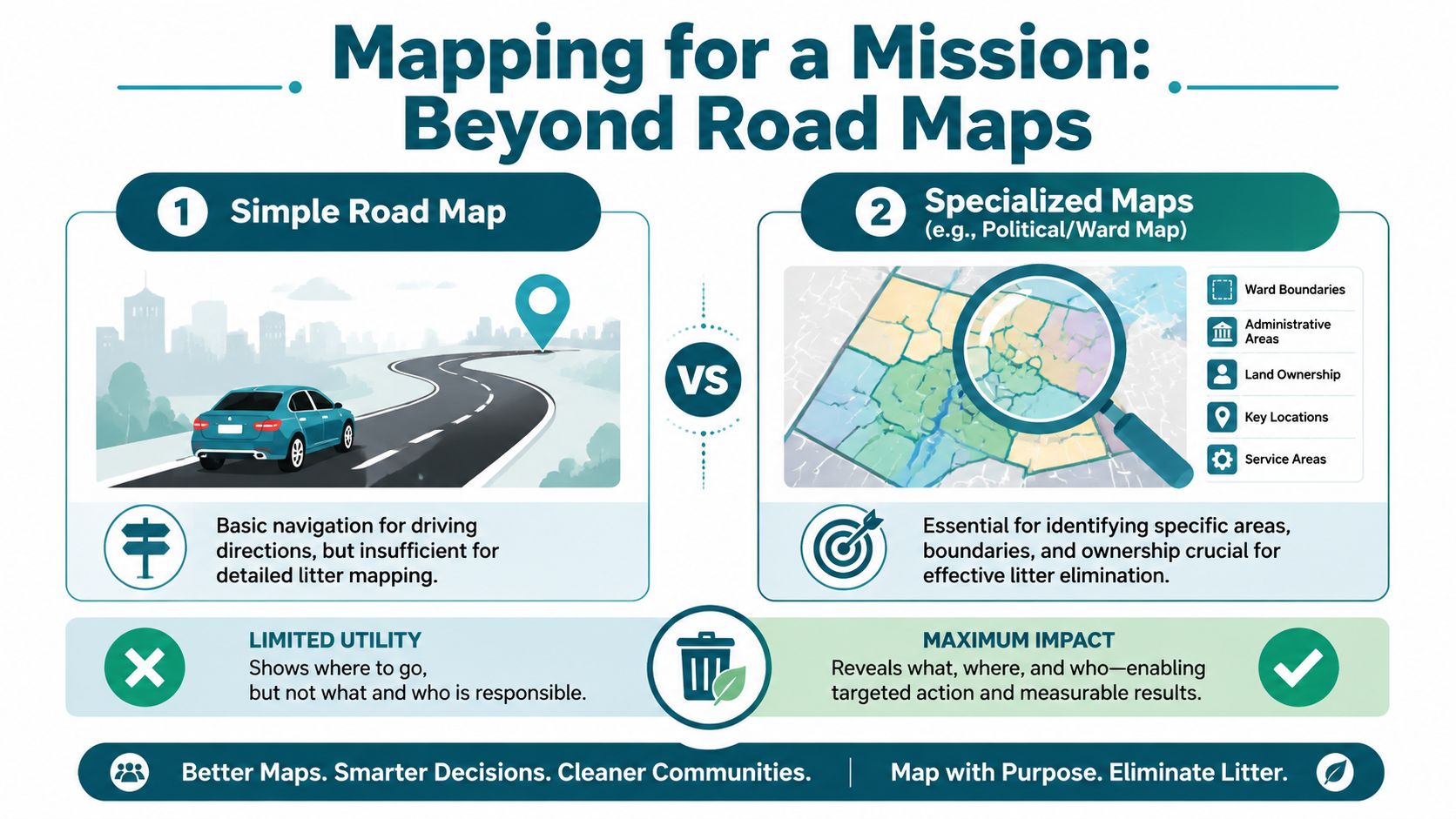
The City of Chicago says its violence dashboard and Public Safety DataHub are built to show neighborhood-level crime and safety indicators, not just citywide aggregates (Chicago All Safe Data). That matters because the unit you choose changes the answer. If you look at a whole city, you smooth out the rough patches. If you zoom to a community area, or even tighter to an address-radius slice, you see the risk around a front door.
That is why I like address-level incident pins and a ½-mile radius when I'm checking a place I might walk, visit, or clean. The city's dashboard approach also tracks violence in real time, which helps with practical choices like patrol routing, volunteer planning, and where to place neighborhood services.
How I read the map without getting tricked by it
I don't treat a map pin like a verdict. I look for clusters, repeated incidents, and what else is happening nearby. Building violations, 311 calls, crash patterns, and ordinary street use can change how a block feels long before a crime headline appears. A map that combines those layers gives me a better read than crime alone.
Practical rule: if I'm choosing between two blocks, I care more about what the immediate radius looks like than what a neighborhood label says.
I also check more than one source, because the picture shifts depending on how the map is built. One 2026 crime map puts Chicago's total crime index at 119, with an estimated 1 in 230 annual chance of violent crime and 1 in 38 annual chance of property crime (Chicago crime map). Another 2026 neighborhood analysis says 77% of Chicago's 86 analyzed neighborhoods earned an A or B safety grade, while the citywide overall grade was C- (DoorProfit Chicago crime map).
I read those numbers like I read a street before a cleanup, slowly and with my eyes open. I want the pattern under the surface, the blocks where the same concerns keep showing up, and the corners that feel different once you stand there instead of staring at a summary.
Safe by Block, Different by Ward, Uneven by Direction
I notice the difference the minute I cross a few streets in Chicago. One block has porch chairs out front, kids cutting across the sidewalk, and somebody sweeping the stoop. Another block has everyone moving fast, doors shut, and fewer people lingering outside. I've done cleanup work in both kinds of places, and that street-level feel lines up with what I see when I read neighborhood safety by block instead of by broad label.
The neighborhoods people call safe
A neighborhood-level Chicago source lists Lincoln Park, Lakeview, River North, Gold Coast, and Hyde Park among the safer neighborhoods (Illinois Crime). Another Chicago guide aimed at homebuyers points to Lincoln Park as a high-demand area with strong school access and lakefront proximity, while also naming Beverly among the safer west-side options for buyers (Grilli Murphy Real Estate).
Those places still feel different once you stand there. River North runs at a quicker pace than Hyde Park. Lakeview gives off a different rhythm than Gold Coast. Even so, when I'm helping a crew pick a cleanup route or checking a block for the first time, those names tend to come up because the street conditions are usually steadier there.
The neighborhoods where risk feels heavier
The same Chicago neighborhood source lists Englewood, Austin, West Garfield Park, Chatham, and Roseland among higher-crime areas (Illinois Crime). That is the part of the map people often talk around instead of naming. I'm not going to do that here. The South and West Sides carry more of the burden, and anyone who works block by block sees that quickly.
| Chicago Neighborhood Safety Snapshot | Ward Area | General Safety Profile |
|---|---|---|
| Lincoln Park | North Side | Commonly cited as safer, with steady street activity |
| Lakeview | North Side | Commonly cited as safer, with active residential blocks |
| River North | Near North Side | Commonly cited as safer, with denser commercial activity |
| Gold Coast | Near North Side | Commonly cited as safer, with high foot traffic and visibility |
| Hyde Park | South Side | Often seen as safer than many nearby areas, with strong neighborhood identity |
| Englewood | South Side | Higher-crime area, requires closer block-level review |
| Austin | West Side | Higher-crime area, needs block-by-block attention |
| West Garfield Park | West Side | Higher-crime area, requires careful route planning |
| Chatham | South Side | Higher-crime area, with mixed block conditions |
| Roseland | Far South Side | Higher-crime area, with sharper local variation |
That is the point I keep coming back to after enough miles on foot. Chicago safety is uneven, and the unevenness shows up by direction as much as by neighborhood name. If you're new here, don't start with a yes-or-no question about the whole city. Ask which side, which ward, which block, and which route you'll use.
A Simple Framework for Assessing a Block Before You Commit
I don't trust a block by vibes alone, and I don't think you should either. When I'm thinking about a lease, a weekend stay, or a cleanup site, I run the same quick test in my head. It takes less than ten minutes if I stay disciplined, and it saves me from bad guesses.
My four-question block check
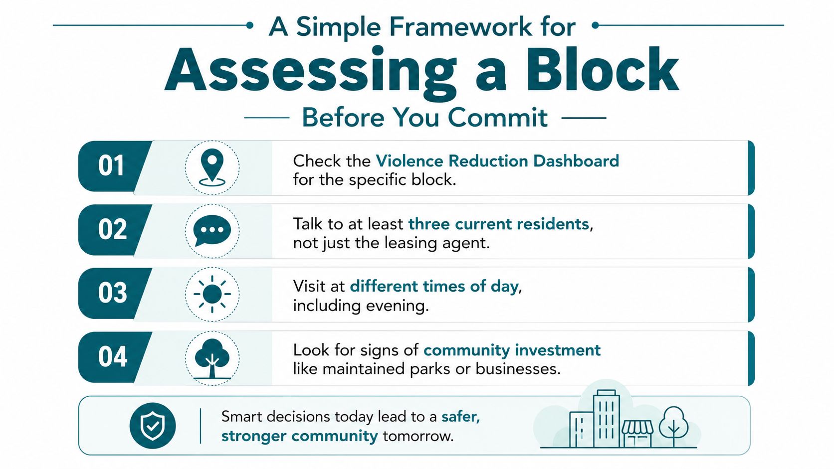
Check the exact block on a map. I want the specific address area, not just the neighborhood name. If the surrounding pins cluster hard in one direction, I pay attention.
Talk to at least three people who live there. I don't stop at the leasing agent or the first friendly face in a coffee shop. Residents tell you what happens after dark, where people park, and which corners they avoid.
Visit at different times of day. A block can feel easy at 11 a.m. and tense at 8 p.m. I want to know what the street does when work ends and the lights change.
Look for ordinary upkeep. Open businesses, clean sidewalks, active porches, and maintained green space tell me more than slogans do.
What I watch for when I arrive
I park where I can leave easily. I keep my crew together when we're on a new block. I don't split up unless I know the area, and I don't wander with my phone out. That sounds basic, because it is, and basic habits save you trouble.
If a street feels empty, I ask whether it's empty because it's quiet or empty because people don't linger there.
That question has saved me from bad assumptions more than once. A block with low foot traffic can be fine if it's residential and calm. The same pattern can feel different if storefronts are shuttered and nobody's outside. The point is to read the block in context, then decide.
I also look at visible investment. Clean corners, functioning lights, and businesses that stay open into the evening tell me a lot about whether people still use the street. When those signs are missing, I slow down.
The Hidden Layer Safety Actually Controls
The perception of safety extends beyond the comfort of walking outside. It also impacts the ability to access essential services like grocery stores, pharmacies, and fitness centers without anxiety.
A Chicago-based study found that poorer perceived neighborhood safety was linked to lower odds of having large grocery stores, pharmacies, and fitness resources within one mile, and that people with prior neighborhood crime exposure were more likely to bypass nearby pharmacies even when they existed (PMC study). That's a hard thing to ignore if you live without a car, or if you're helping a senior who relies on a short walking route.
Safety shapes errands, not just feelings
I've seen this in day-to-day cleanup work. A corner can have a pharmacy, a store, and a bus stop nearby, but if people don't feel settled walking there, that access isn't real in practice. It exists on paper and fades in the routine of the people who live there.
Families feel that most sharply. So do seniors who keep strict habits and don't want to improvise. So do volunteers who want to help a block but don't know whether they can safely bring gear in, unload bags, and leave their cars for an hour.
When I read that study, I thought about all the times a neighborhood looked “close enough” on a map and still felt too far in real life. Safety changes the radius of ordinary life.
The access question most guides skip
That's why I like asking a harder question than “Is this area safe?” I ask, “Can someone here live their day here?” Can they walk to food, medicine, and movement without treating every errand like a mission? That is where neighborhood safety stops being a score and starts shaping habits.
If you care about that side of the story, the illegal dumping problem usually sits right next to it, because neglected blocks and worn-out routines travel together in the same neighborhoods. I keep coming back to this guide on illegal dumping prevention because the street-level fix is often the same, show up, clean up, and make the block easier to use.
How Showing Up Changes How a Neighborhood Feels
I started Litter Caterpillars because my own life was a mess in the same weird way a cluttered room gets under your skin. I held onto trash like it had a story, and I kept telling myself I'd deal with it later. Then came a breakup, a reset, and a decision to get better at the things I had been avoiding, cleanliness, consistency, and bravery.
The first cleanup was absurd in the best way. There were three of us, and Chicago threw a hail storm at us while we were out there. We huddled under a tree, watched Uber keep canceling, and laughed because we had already committed. That day taught me two things. Cleaning other people's messes is easier than cleaning your own, and a little suffering gives the work a flavor that makes it stick.
Why repeated presence matters more than a one-off cleanup
A one-time sweep can make a block look better for a day. Repeated presence changes how people carry themselves. Kids notice. Adults notice. The street starts to feel visited instead of abandoned.
I've watched that happen when a small, steady group shows up week after week with the same energy and the same bags. People begin to say hello. They stop pretending the block is someone else's problem. The cleanup crew becomes part of the street's rhythm, and that rhythm matters.
My rule: if we can return to a block with the same faces and the same good mood, the block gets easier for everybody else to use.
That logic is why we do the work in rain, blizzards, heat, and bad wind. It's also why we've done unusual jobs, like cleaning a highway during a bike-event shutdown and winning an empty lot at auction to build Caterpillar Park in Englewood. Those jobs aren't magic tricks. They're proof that visible service changes what people believe is possible on a street.
What I've learned from the block
Safety gets discussed like a fixed property. I don't think it is. It's shaped by what people do on the block, who returns, who stays visible, and whether the street feels cared for. Dashboards can't capture that mood, but a crew picking up trash on the same corner every Saturday can.
If you want to see how we think about service, friendship, and getting people outside together, I'd point you to Care for Real. The same simple habit keeps showing up there too, people helping in public, on purpose, without acting like they're above the place they're cleaning.
Plugging In Safely as a Volunteer or Advocate
If this made you want to do something, start small and start where people already know the drill. Weekend-morning cleanups work well because they attract givers, not people looking to make the day about themselves. That matters to me. I want volunteers to feel safe, useful, and at ease before anyone asks them for more.
A low-pressure way to begin
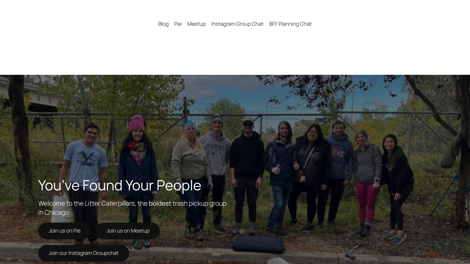
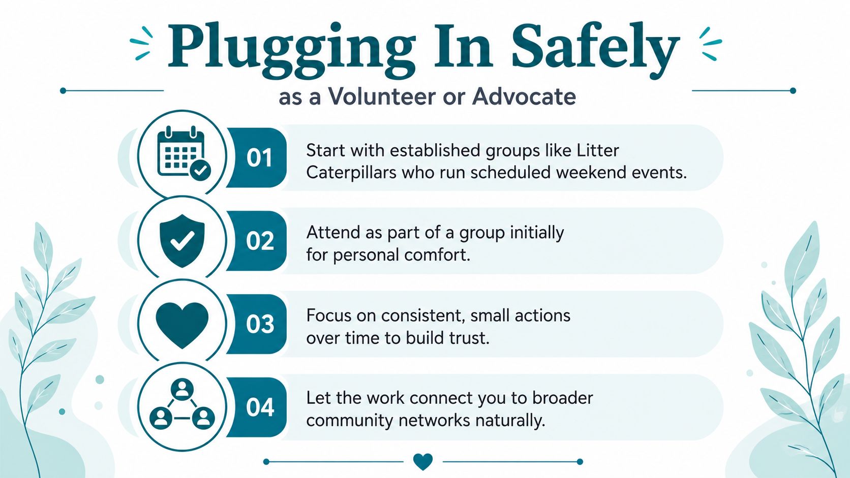
Start with an established group. Litter Caterpillars runs scheduled weekend events, which makes it easier to know when and where to show up.
Go with a friend the first time. I like groups because they keep the work comfortable while you learn the block.
Keep the action small and regular. A steady hour on the same corner does more than a big burst you never repeat.
Let the block introduce you to the rest of the network. Park stewards, CAPS beat meetings, ward cleanups, mutual aid groups, and local hearings all connect naturally once you start showing up.
If you want to check the safety side of a group before you join, ask whether they brief volunteers on the site, whether they keep cleanup gear on hand, and whether they make room for beginners. If they can't answer plainly, keep looking. Safety and friendship are not extras. They're the whole point.
I also care about liability, because a serious volunteer group should think about it before asking anyone to carry bags into a neighborhood they don't know. If you want to see how I think about that part of the work, look at volunteer liability insurance.
If you want a first step that feels real, come out to a Litter Caterpillars cleanup, bring a friend, and let the block teach you what a dashboard can't. Visit Litter Caterpillars and plug into a weekend morning where you can pick up trash, meet good people, and get a clearer read on Chicago neighborhood safety while you're standing on the street.